
Is Maspeth flooding right now?
Checking live flood alerts and sewer overflow conditions…
Maspeth Flood Exposure · NYC DEP Combined Sewer Area NCQ-077
Maspeth, Queens - NCQ-077
Properties in this area share the NCQ-077 combined sewer — during moderate-to-heavy rain, runoff can exceed pipe capacity faster than it drains, which is what drives sewer backup exposure block by block. Here’s what that looks like for Maspeth, Queens specifically.
NCQ-077 is a combined sewer area covering 5,791 properties in Maspeth, Queens. Flood Form rates 43% of them Moderate or High for stormwater, 7% for sewer backup, and 11% for groundwater. None rate that high for coastal flooding. 79% of lots have yard area that legally qualifies for on-site infiltration. Ground elevation varies widely here: the land drops from about 109 ft to 35 ft, sloping down toward the northwest. Rain that falls uphill runs down the streets toward the low end, so properties there take on water from the blocks above as well as their own, and are the first to see ponding and sewer backups when the pipes fill. Properties higher up shed water downhill and pond less, so where a lot sits on the slope matters more here than any average for the area. The median building dates to 1930. 19% of parcels sit over a historic stream or pond. According to NYC DEP green infrastructure records, this sewershed drains to Newtown Creek. NYC DEP has built 158 green infrastructure assets here. NYC DEP models about 57 combined sewer overflows a year at its outfall.
See where your property stands
Flood exposure in Maspeth (NCQ-077)
The share of properties Flood Form rates Moderate or High for each type of flooding, on the same Minimal to High scale as an individual report.
43%
Stormwater exposure: Moderate or High
7%
Sewer Backup exposure: Moderate or High
11%
Groundwater exposure: Moderate or High
0%
Coastal exposure: Moderate or High
What sets Maspeth (NCQ-077) apart
The three figures on which NCQ-077 differs most from the rest of NYC’s combined sewer areas.
158
NYC DEP green infrastructure assets built
Higher than 93% of NYC's combined sewer areas. City-built rain gardens and similar assets already take some runoff here.
57
Sewer overflows a year at the outfall, as modeled by NYC DEP
Higher than 92% of NYC's combined sewer areas. The shared pipe overflows to the waterway often.
5,791
Properties in sewershed
Larger than 87% of NYC's combined sewer areas. Many lots share this one outfall.
Stats computed from Flood Form’s NYC parcel data as of October 14, 2026
The worst corner in Maspeth
61st Street & 56th Avenue
Of the 76 four-way intersections Flood Form compared in NCQ-077, the 15 lots within 50 meters of this one carry the highest average compound flood exposure: a score of 19.2, against 5.3 across the sewershed.
High
Compound exposure
High
Stormwater exposure
Low
Sewer Backup exposure
High
Groundwater exposure
Minimal
Coastal exposure
Ratings are for the average lot near the corner, on the same Minimal to High scale as a report
Common solutions for Maspeth properties
The measures that most often suit conditions in NCQ-077. An individual Flood Form picks the exact set for one lot. See all flood prevention solutions.
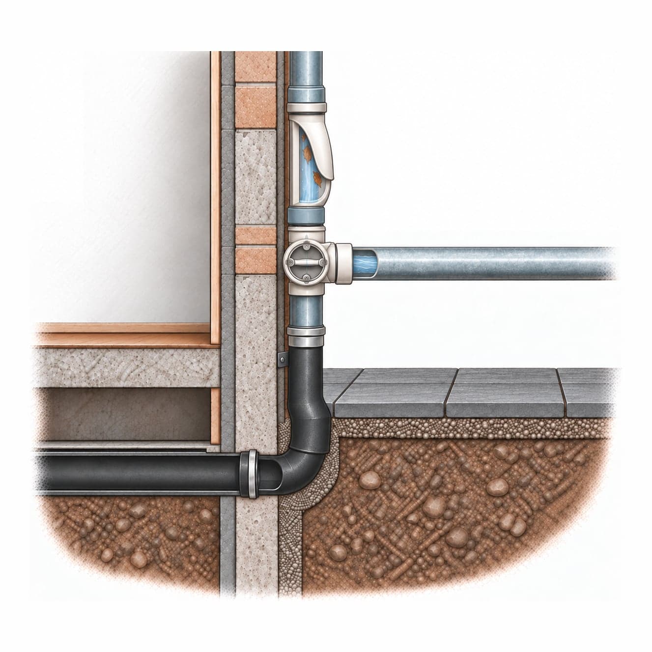
Downspout Diversion
Redirect roof downspouts away from the sewer system toward permeable yard areas, planters, or a rain barrel.
Complexity: Low · 1–4 weeks
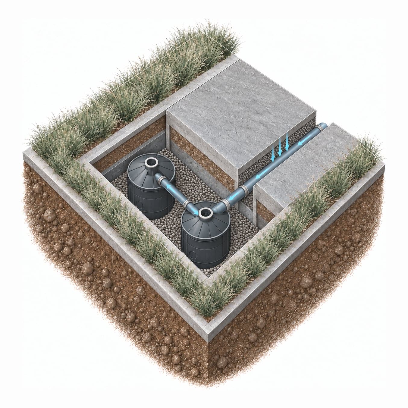
Modular Drywell System
An NDS Flo-Well modular drywell system lets water soak into the ground on-site.
Complexity: Moderate · 1–3 weeks
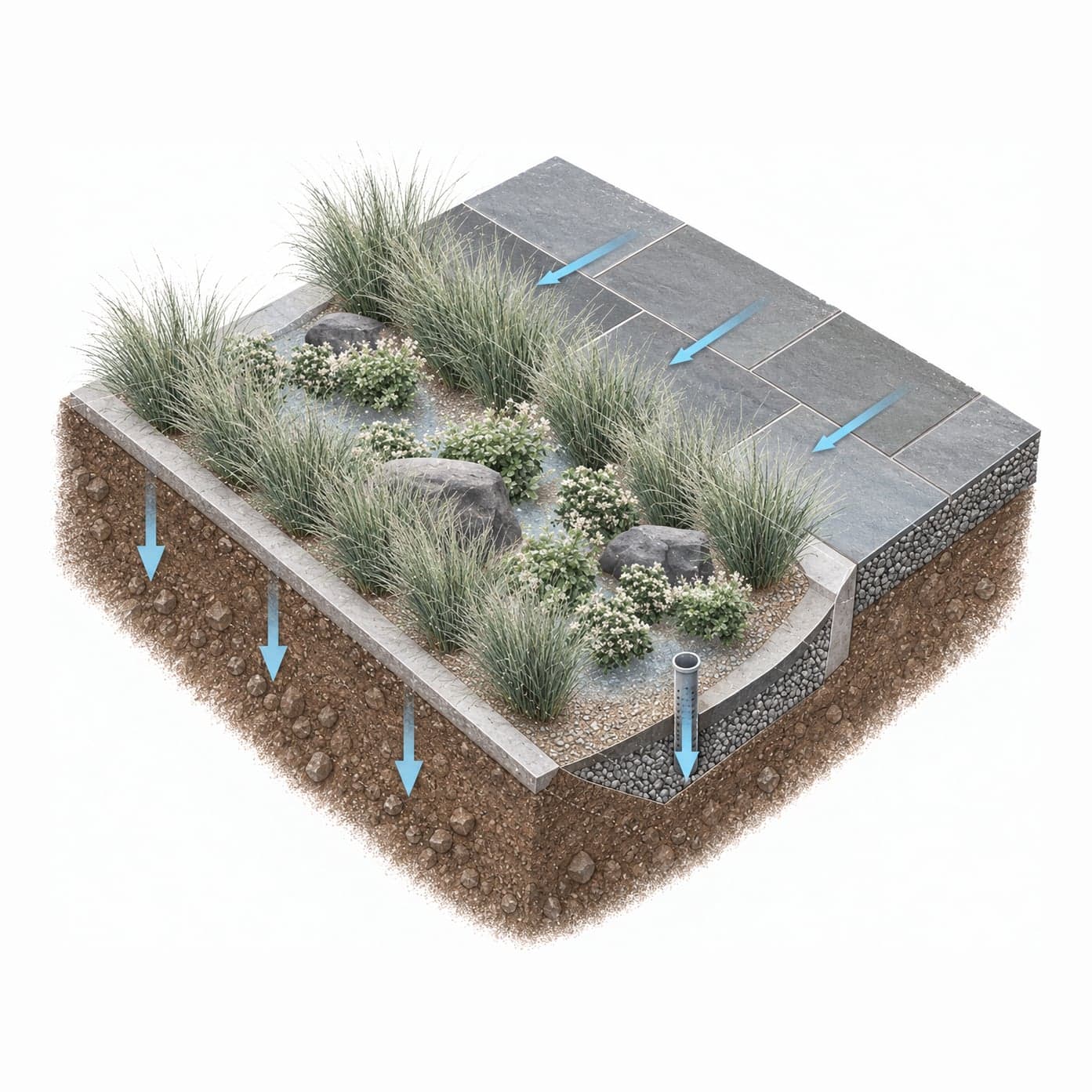
Rain Garden
A shallow planted depression that collects runoff from roofs and paved areas and lets it soak into the ground over a day or two.
Complexity: Low · 1–3 weeks
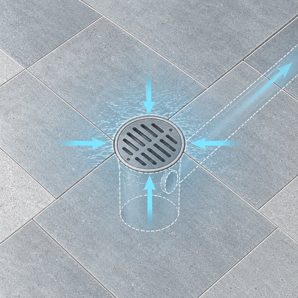
Area Drain
A yard area drain — a surface inlet at the lowest point in the yard — provides a direct outlet for stormwater that pools on the site.
Complexity: Low · 1–4 weeks
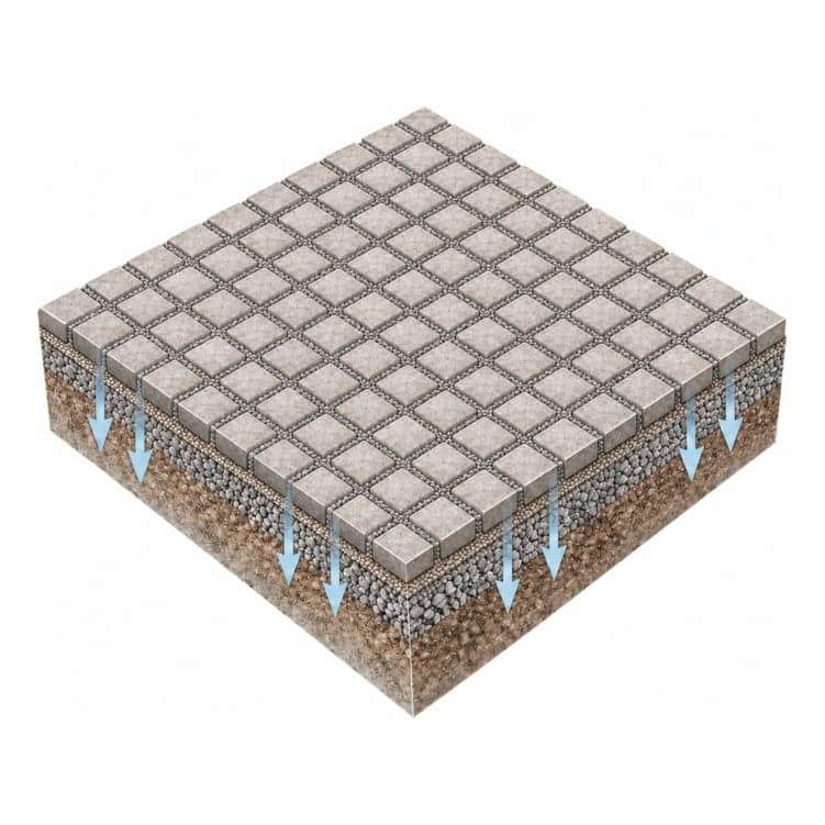
Increase Permeable Area
On-site interventions include permeable paving for driveways and walkways, removing concrete from yard areas, and adding planted beds — reducing impervious coverage that limits the neighborhood's collective capacity to absorb rain.
Complexity: Low · Ongoing
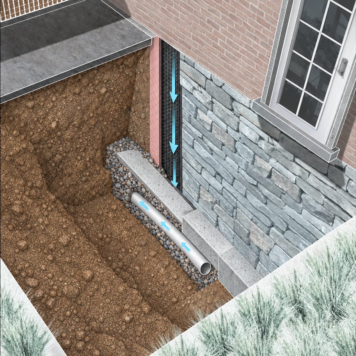
Foundation Waterproofing
Exterior membrane waterproofing, interior footing drains, or crystalline waterproofing compounds address hydrostatic pressure against the foundation, depending on construction type.
Complexity: High · 3–6 months
Which of these fit your lot?
Your Flood Form rates your property’s exposure and recommends the measures suited to it.
Questions about flooding in Maspeth (NCQ-077)
What is the NCQ-077 sewershed in Maspeth?
NCQ-077 is the part of Maspeth, Queens whose combined sewer leads to NYC DEP outfall NCQ-077. Its 5,791 properties share that pipe for both rain and wastewater, so a heavy storm anywhere in the area uses up capacity for every block in it. When the pipe is over capacity, the overflow discharges to Newtown Creek.
Do properties in Maspeth (NCQ-077) report sewer backups?
Over the last 10 years, 55 in every 1,000 lots in NCQ-077 filed a 311 sewer backup report, against a median of 76 across NYC's combined sewer areas. NYC DEP confirmed a problem in the city sewer, from rain overload to a blockage, at 6 in every 1,000 lots. The most reports came in 2022: 91.
Has street flooding been measured in Maspeth (NCQ-077)?
Yes. One FloodNet street-flood sensor in NCQ-077 has recorded 5 floods since it was installed, the deepest 24 inches. The most recent came on August 23, 2026. FloodNet is a citywide network of sensors that measure water on the street.
Can properties in Maspeth (NCQ-077) manage stormwater on site?
79% of lots in NCQ-077 have yard area that legally qualifies for on-site infiltration, such as a drywell or rain garden. A lot without that room can still hold runoff with a detention tank or a blue roof.
Is Maspeth flooding right now?
The live check at the top of this page shows whether flooding is likely in Maspeth now. It combines National Weather Service flood alerts for Queens, NYC DEP's modeled combined sewer overflow advisories, and the past three hours of rain. Most NYC sewers are designed for about 1.75 inches of rain an hour, so a heavy downpour can flood streets and basements on low blocks before any alert goes out. Report street flooding or a sewer backup to 311, and call 911 if anyone is in danger.
Nearby neighborhoods and sewersheds
- NCB-083Ridgewood13,342 properties · 39% with Moderate or High stormwater exposure
- NCQ-029Sunnyside216 properties · 21% with Moderate or High stormwater exposure
- BB-009Sunnyside1,749 properties · 52% with Moderate or High stormwater exposure
- BB-005Jackson Heights25,224 properties · 46% with Moderate or High stormwater exposure
- BB-026Sunnyside628 properties · 63% with Moderate or High stormwater exposure
- BB-006Forest Hills19,223 properties · 42% with Moderate or High stormwater exposure